UPDATED August 2026
Transnistria Map
DRAG TO EXPLORE // © CARTO © OPENSTREETMAP
Transnistria is a landlocked, 400 kilometer long sliver of land wedged between the eastern bank of the Dniester River in Moldova and the southwestern border of Ukraine [03:03, 03:05, 04:41]. It averages only 25 kilometers in width and covers roughly 3500 to 4160 square kilometers [02:54, 03:06, 04:41]. Tiraspol is its administrative capital, located about 70 kilometers east of Chisinau and roughly 100 kilometers northwest of Odesa [03:57, 05:35].
Why Transnistria matters right now
Transnistria is experiencing structural economic and security shocks following the cutoff of free direct Russian natural gas via Ukraine in 2025. Its primary industrial asset, the MGRES power station in Dnestrovsc, previously gave Tiraspol regional energy leverage over right bank Moldova. With Chisinau now linked to the European energy grid and routing regional trade through standard customs channels, over 70% of Transnistrian exports flow directly into EU markets.
Moscow maintains an estimated 1500 Russian troops on the ground, split between a peacekeeping contingent established by the 1992 ceasefire and the Operational Group of Russian Forces guarding the massive Soviet era ammunition depot at Cobasna. Western intelligence assessments show Moscow continues working to destabilize Moldova through political subversion and cyber operations, aiming to preserve Transnistria as a strategic wedge against NATO and EU expansion.
The government in Chisinau is advancing a structured reintegration roadmap that seeks to absorb Transnistria into Moldova's legal and economic system without military escalation. Because Transnistria is completely encircled by Moldova and Ukrainian territory, its authorities have lost direct supply lines to Russia, transforming the 30 year frozen conflict into a rapid test of economic viability.
Watch the detailed breakdown as the live map traces the strategic positions along the Dniester River
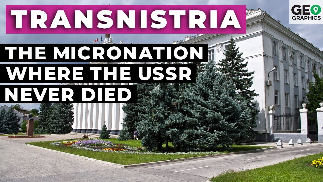
Transnistria: The Micronation Where the USSR Never Died
Details how the Sheriff corporate monopoly, Soviet branding, and the 14th Army shaped the unrecognized strip after 1992 [04:29, 07:46, 21:49]
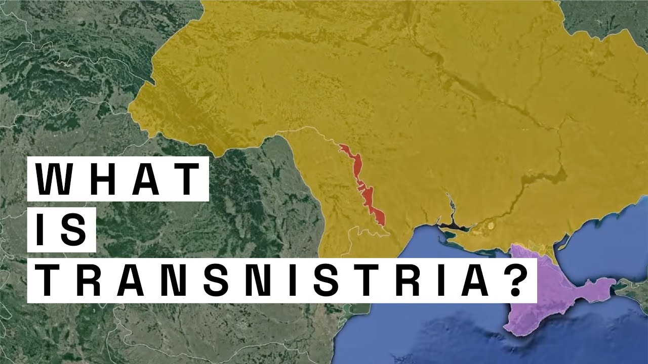
What is Transnistria? | The Geopolitics of Transnistria
Explains the frozen conflict along the Dniester and how 1500 Russian peacekeepers block Moldova from Western integration [04:32, 05:07]
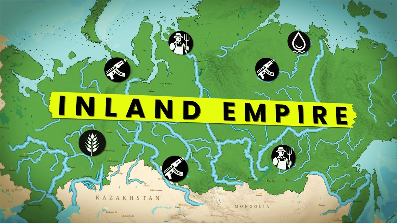
How Russia plans to rule Eurasia by river
Maps the strategic river networks of Eurasia and explains how Moscow uses inland waterways for regional control
FAQ
Is Transnistria recognized as an independent country
No UN member state recognizes Transnistria as independent [02:30, 02:44]. Under international law, it is recognized as sovereign territory of the Republic of Moldova [01:14, 04:32]. Only 3 other breakaway territories, Abkhazia, South Ossetia, and formerly Nagorno-Karabakh, have offered diplomatic recognition [02:36].
How many Russian troops are in Transnistria
Russia stations approximately 1500 military personnel inside the territory. Around 500 serve in the Joint Control Commission peacekeeping force along the 1992 ceasefire line [04:32]. The remaining 1000 soldiers form the Operational Group of Russian Forces, primarily guarding 20000 tons of Soviet ammunition stored in Cobasna [04:32, 20:10].
What is the Sheriff company in Transnistria
Sheriff is a private conglomerate founded in 1993 by 2 former Soviet security officers [21:48]. It controls supermarkets, fuel stations, construction firms, telecoms, and FC Sheriff Tiraspol [21:54, 22:06]. The holding company dominates the local economy and exerts significant influence over the region's parliament [21:59].
Why does Transnistria still use Soviet symbols
The region broke away in 1990 to preserve Soviet political and cultural ties when Moldova moved toward independence and Romanian cultural alignment [01:04, 13:41, 14:41]. Transnistria kept the hammer and sickle on its flag and preserved Lenin statues across Tiraspol to anchor its Slavic identity [04:08, 04:18, 05:14]. These symbols remain central to the local government's political narrative [01:21, 25:21].
More places
Black Sea · South China Sea · Persian Gulf · Strait of Malacca · Bosphorus · all places