UPDATED August 2026
Black Sea Map
DRAG TO EXPLORE // © CARTO © OPENSTREETMAP
The Black Sea is an inland basin bounded by Ukraine to the north, Russia and Georgia to the east, Turkey to the south, and Bulgaria and Romania to the west. Its only natural maritime outlet runs southwest through the Turkish Straits into the Sea of Marmara and the Mediterranean, making every vessel entering or exiting subject to Turkish control under the Montreux Convention.
Why Black Sea matters right now
Ukraine has systematically neutralized Russia's naval dominance across the western basin without fielding a conventional battle fleet. Precision missile strikes and uncrewed surface drones forced Russia to evacuate major surface combatants from Sevastopol in occupied Crimea back to Novorossiysk on the Russian mainland. Ukrainian strikes have followed them there, damaging combatants and hitting oil and grain infrastructure.
Maritime trade remains volatile after the collapse of the UN-brokered Black Sea Grain Initiative. Ukraine established a unilateral coastal corridor hugging the territorial waters of NATO members Romania and Bulgaria. Even with alternative routes through Danube river ports and rail links into Central Europe, overland transit faces steep friction from differing rail gauges and import bans by neighboring EU states trying to protect domestic farmers.
The security balance now dictates global food security and energy transit. Over 80 percent of Ukrainian agricultural exports historically moved through deepwater Black Sea terminals. With Russian warships penned into eastern ports and both sides trading strikes on commercial traffic and terminals, Black Sea access remains the critical bottleneck for Mediterranean and North African grain supplies.
Follow the geopolitical maneuvers, naval retreats, and shipping chokepoints on the live map below
Russia Terminates the Black Sea Grain Deal (My Thoughts from the Last Year) || Peter Zeihan
Zeihan explains why overland grain transit through 5 eastern EU states cannot replace Black Sea maritime volume due to rail gauge mismatches and lost domestic crushing capacity

Russia's Black Sea Blunders
Zeihan details how the loss of the cruiser Moskva isolated the Black Sea Fleet because Russia cannot legally or geographically redeploy warships from its Baltic, Arctic, or Pacific fleets
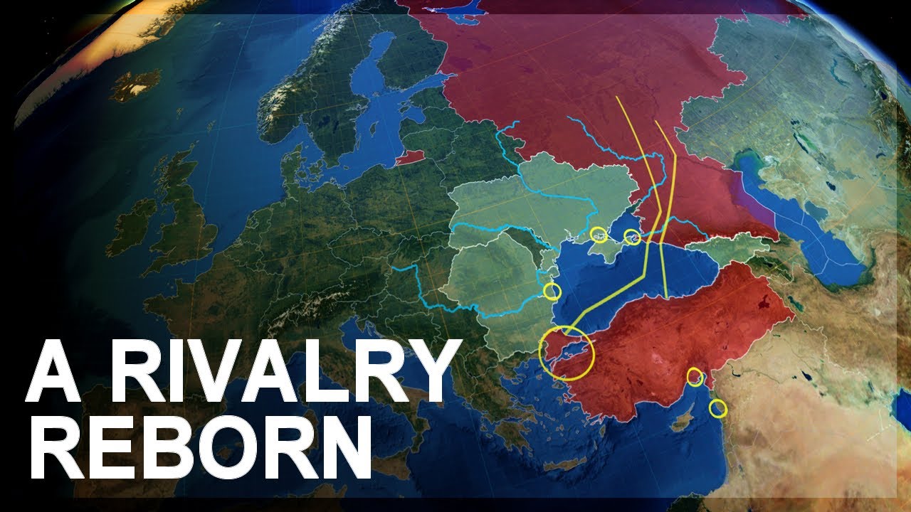
Geopolitics of the Black Sea
Zeihan calculates that clearing Ukraine's stranded 18 million metric tons of grain required hundreds of bulkers, warning that export paralysis risks Arab Spring-style price shocks
FAQ
How does Ukraine's unilateral shipping corridor operate?
Ukraine routes cargo ships through the territorial waters of NATO members Romania and Bulgaria. Vessels stay close to the NATO coastline to deter Russian surface attacks, though Russian air and drone strikes continue targeting port terminals in Odesa, Chornomorsk, and Izmail.
Why is rail transit to European ports insufficient for Ukrainian grain exports
Former Soviet railways use a wider 1520 mm track gauge, whereas central European rail networks use standard 1435 mm gauge. Transferring bulk grain between rail cars at border hubs creates massive congestion, and overland transport costs up to 3 times more than maritime shipping.
What is the strategic significance of the port of Novorossiysk
Novorossiysk serves as Russia's primary eastern naval redoubt and its largest commercial export hub for crude oil and grain. As Ukrainian sea drones pushed Russian surface combatants out of Crimean bases, Russia consolidated its naval command and logistics into Novorossiysk Bay.
More places
South China Sea · Persian Gulf · Strait of Malacca · Bosphorus · Caucasus · all places