UPDATED August 2026
Strait of Malacca Map
DRAG TO EXPLORE // © CARTO © OPENSTREETMAP
The Strait of Malacca is a crucial shipping corridor connecting the Andaman Sea in the northern Indian Ocean directly to the Singapore Strait and the South China Sea in the Pacific. At its narrowest southeastern neck, the Phillips Channel near Singapore narrows navigation lanes to just 2.7 kilometers wide and 25 meters deep.
Why Strait of Malacca matters right now
Rising regional tensions and disruptions across Middle Eastern waterways have made Malacca the primary focal point of Asian energy security. Over 80% of Japan's oil imports and approximately 75% of China's imported crude pass directly through this passage.
Beijing treats this structural exposure as the Malacca Dilemma, investing heavily in alternative land corridors while the US and regional partners strengthen bilateral maritime defense pacts. Diverting tankers around the strait through Indonesia's Sunda or Lombok Straits adds up to 450 nautical miles, inflating shipping fuel costs and stretching transit timelines across global supply chains.
Track commercial shipping lanes, naval patrol corridors, and critical channel depths on the interactive map below
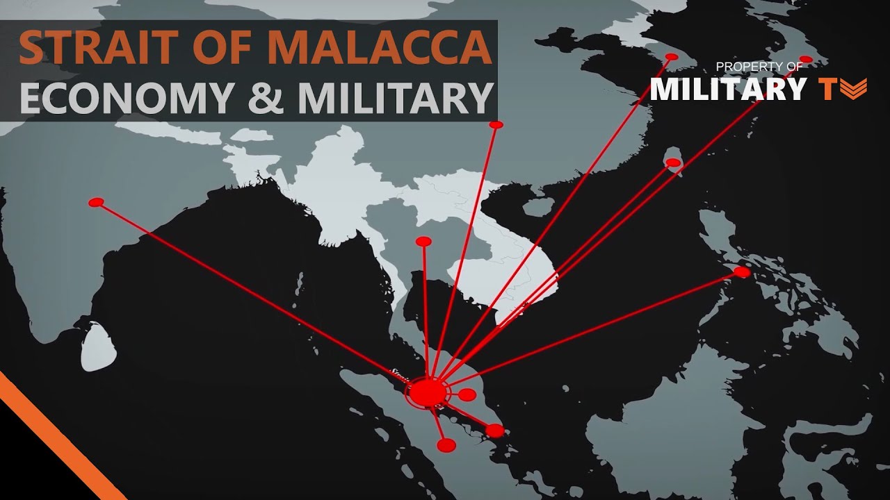
Why is the Strait of Malacca so Important to the World's Economy & Military
Breaks down Malaccamax draft limits of 25 meters, Air-Sea Battle operational concepts, and regional hazards like Sumatra bushfire haze
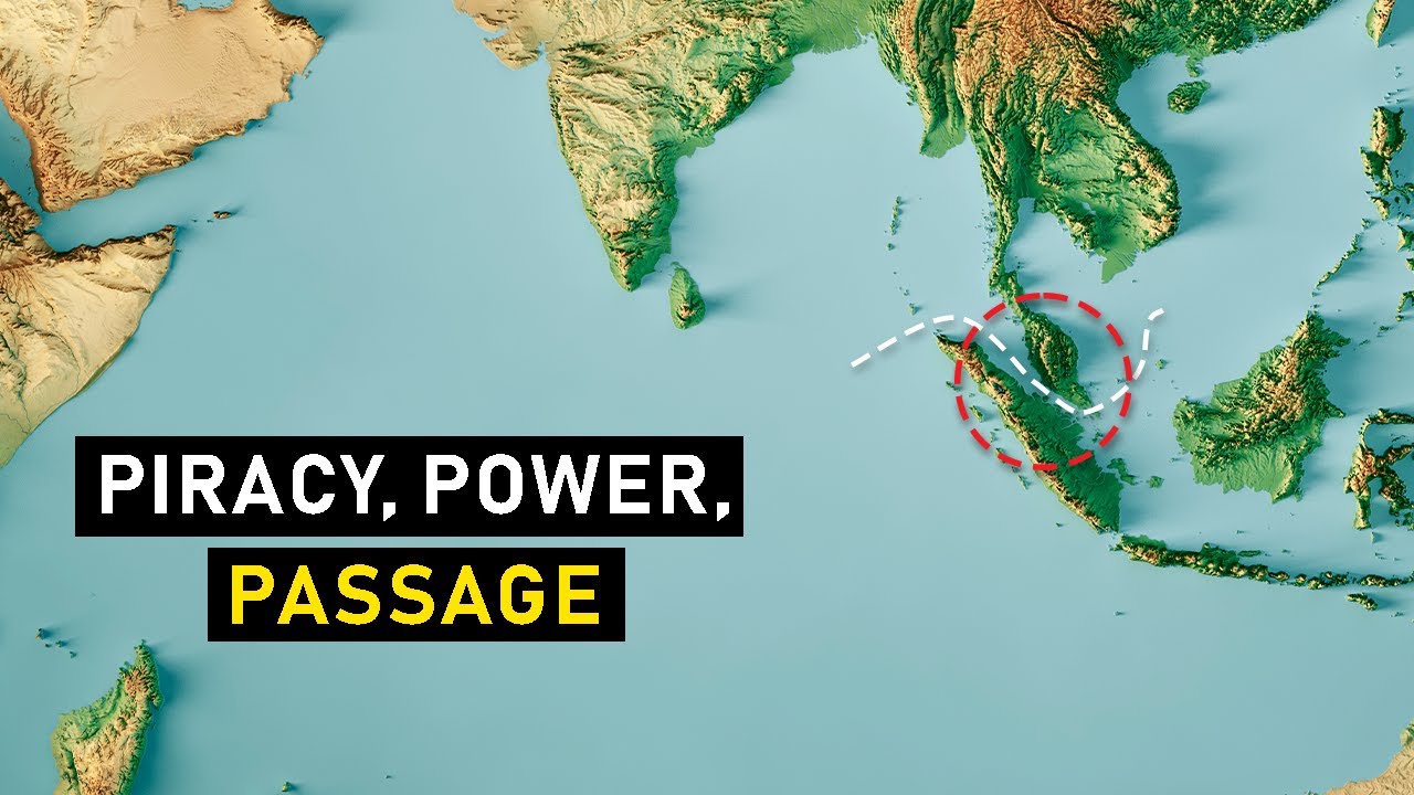
Why the Strait of Malacca is so Important
Details the Malacca Dilemma where 60% to 75% of China's oil imports face a 450-nautical-mile diversion penalty through the Sunda Strait if blocked
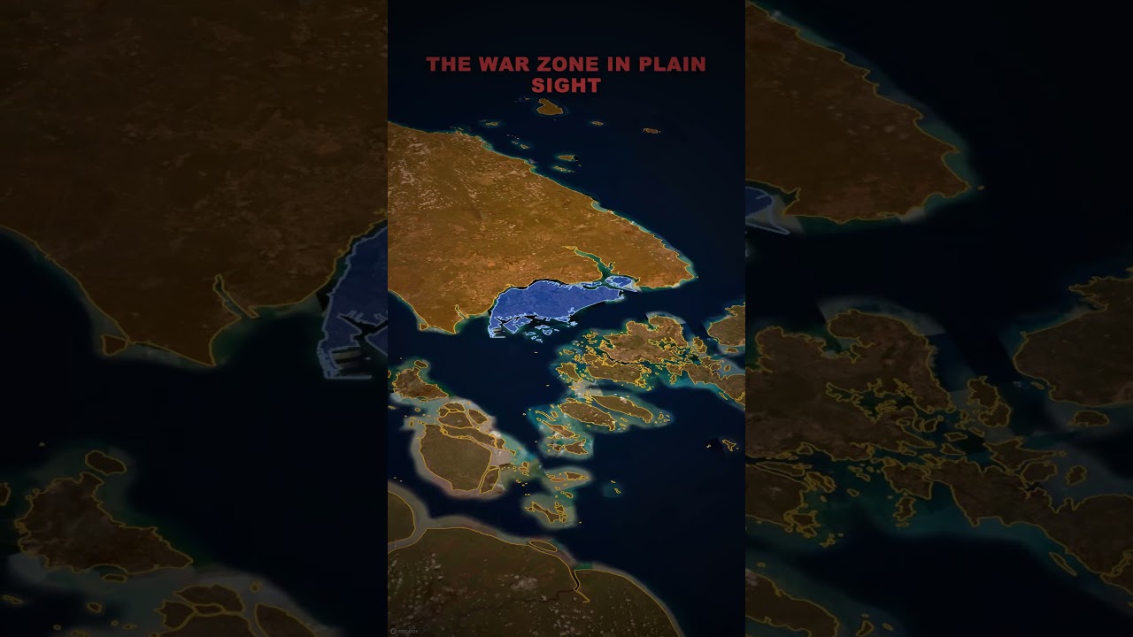
The 2.8 KM Chokepoint That Controls the World Economy | Malacca Strait Explained #geopolitics
Highlights the 2.8 km Phillips Channel chokepoint and how littoral patrol coordination handles over 100,000 ship passages annually
FAQ
How narrow is the Phillips Channel in the Strait of Malacca?
At its narrowest point near Singapore, the Phillips Channel constricts navigation lanes to just 2.7 kilometers wide and 25 meters deep. This creates a severe navigation bottleneck where both eastbound and westbound commercial traffic must pass within close range of shallow banks.
What happens to global shipping if the Strait of Malacca is blocked
Vessels must detour south through Indonesia's Sunda Strait or Lombok Strait. That rerouting adds up to 450 nautical miles and 3 to 5 additional sailing days per voyage, driving up maritime insurance and global fuel costs.
Why is China vulnerable to the Malacca Dilemma
China relies on maritime imports for over 70% of its oil consumption, with the vast majority transiting the Malacca corridor. Because the strait is bordered by littoral states and monitored by foreign navies, a wartime blockade would cut off China's core energy supply within weeks.
What is a Malaccamax vessel
Malaccamax defines the maximum physical dimensions a ship can have to safely clear the strait's 25-meter minimum depth limit. Very large crude carriers exceeding a 20-meter draft risk grounding and must navigate deeper alternative routes through the Lombok Strait.
More places
Black Sea · South China Sea · Persian Gulf · Bosphorus · Caucasus · all places