UPDATED August 2026
Bosphorus Map
DRAG TO EXPLORE // © CARTO © OPENSTREETMAP
The Bosphorus is a 30 km natural waterway in northwestern Turkey that cuts directly through Istanbul. It connects the Black Sea in the north to the Sea of Marmara in the south, which then leads to the Aegean Sea through the Dardanelles. It forms the continental boundary between Europe on its western bank and Asia on its eastern bank, narrowing to 750 meters between the Ottoman fortresses of Rumelihisarı and Anadoluhisarı.
Why Bosphorus matters right now
The waterway remains one of the world's most congested maritime chokepoints, handling over 40,000 transits annually. More than 3 million barrels of crude oil per day and roughly 25% of global grain exports squeeze through its tight curves and powerful countercurrents.
Escalating drone skirmishes across Black Sea maritime corridors have prompted Ankara to push for a formal maritime security moratorium. Safety concerns and collision risks through central Istanbul also sustain government plans for Canal Istanbul, a proposed 45 km bypass canal west of the natural strait.
Follow strategic checkpoints, bridges, and shipping corridors on the live interactive map
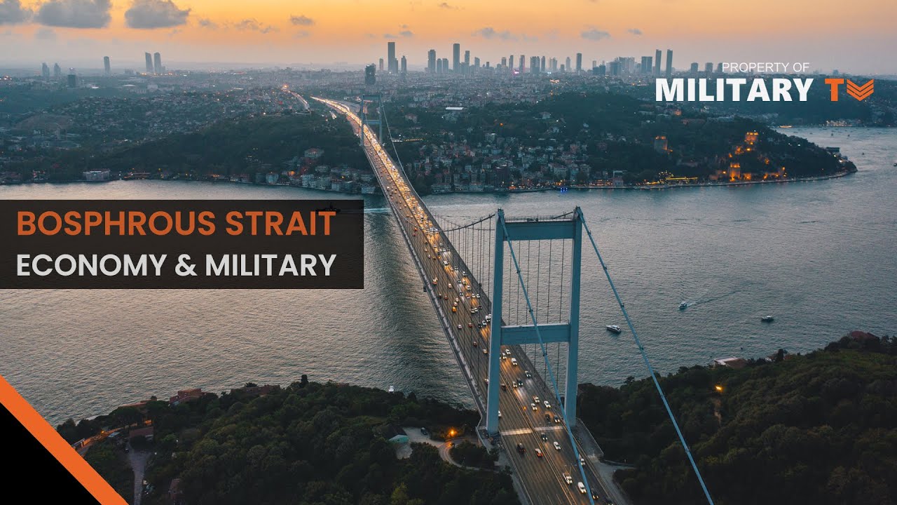
Why is the STRAIT OF BOSPHORUS so important?
Details the 36 to 124 meter depth channel alongside Russian landing ship transits like the Orsk and Caesar Kunikov

Why is the Bosphorus important?
Highlights the economic footprint of 3 suspension bridges and 2 subsea tunnels alongside global grain and oil flows
How Do The Turkish Straits Create Geopolitical Tension? - Middle East Insights
Examines Montreux Convention tonnage caps and the 21 day stay limit for non-littoral naval forces in the Black Sea
FAQ
Why is the Bosphorus strategically important for Russian naval operations
Russia relies on this corridor to sustain naval deployments and logistics hubs in the eastern Mediterranean, including Tartus, Syria.
How does the Montreux Convention govern military transits
Signed in 1936, the treaty gives Turkey authority over warship transits through the straits. In wartime where Turkey is neutral, belligerent combat vessels cannot pass, and non-Black Sea navies face aggregate tonnage caps and a 21 day operational limit.
What makes navigation in the Bosphorus technically difficult
The channel narrows to 750 meters and features sharp navigational turns with blind spots. Surface currents flowing south clash with deeper, saline countercurrents flowing north, generating powerful eddies in mid-channel.
What is the status of the Canal Istanbul project
Canal Istanbul is a planned 45 km artificial waterway intended to route tankers around Istanbul's urban core. It remains under debate due to high infrastructure costs, environmental impact on the Sea of Marmara, and questions about its Montreux treaty status.
More places
Black Sea · South China Sea · Persian Gulf · Strait of Malacca · Caucasus · all places