UPDATED August 2026
South China Sea Map
DRAG TO EXPLORE // © CARTO © OPENSTREETMAP
The South China Sea sits in the western Pacific Ocean. China borders it to the north. Vietnam lies to the west. The Philippines borders it to the east. Malaysia, Brunei, and Indonesia flank it to the south. Critical maritime chokepoints frame the basin, including the Taiwan Strait to the northeast and the Strait of Malacca to the southwest.
Why South China Sea matters right now
6 claimant governments assert overlapping rights across the waterway. Beijing claims over 80% of the sea via its nine-dash line. Over the past decade, China built 7 militarized artificial islands across the Spratly and Paracel chains, deploying runways, radars, and missile batteries on features like Subi Reef, Mischief Reef, and Fiery Cross Reef.
In 2026, maritime friction has escalated sharply around Scarborough Shoal and Second Thomas Shoal. The China Coast Guard and maritime militia use water cannons, acoustic devices, and ramming tactics to block Philippine resupply missions. In August 2026, Beijing declared new environmental controls over Scarborough Shoal, prompting legal pushback from Manila and Washington.
Over 3 trillion to 5 trillion dollars in commercial cargo traverses these lanes annually, along with 70% of Japan's Middle Eastern oil imports. The United States conducts regular Freedom of Navigation Operations to challenge Chinese baselines, backed by joint patrols with the Philippines, Japan, and Australia.
Follow the contested outposts and shipping routes on the interactive map while watching the video briefings
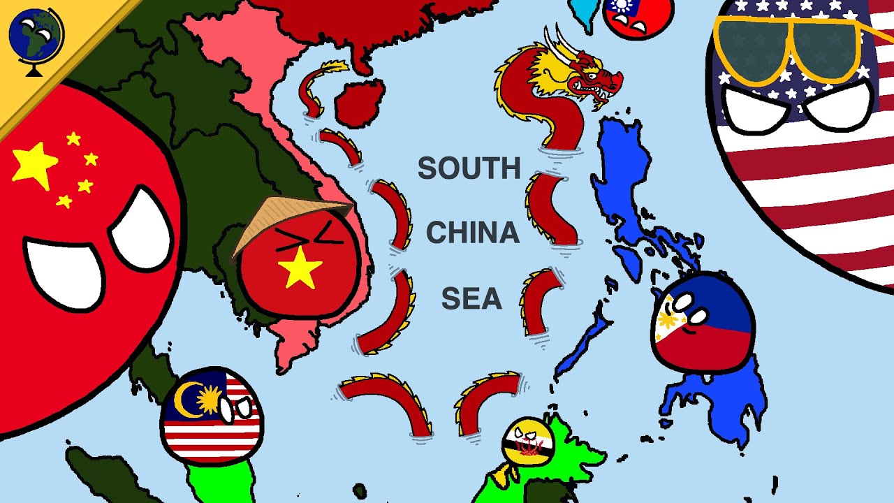
South China Sea dispute explained
Compares China's current island strategy to 19th-century American dominance in the Caribbean
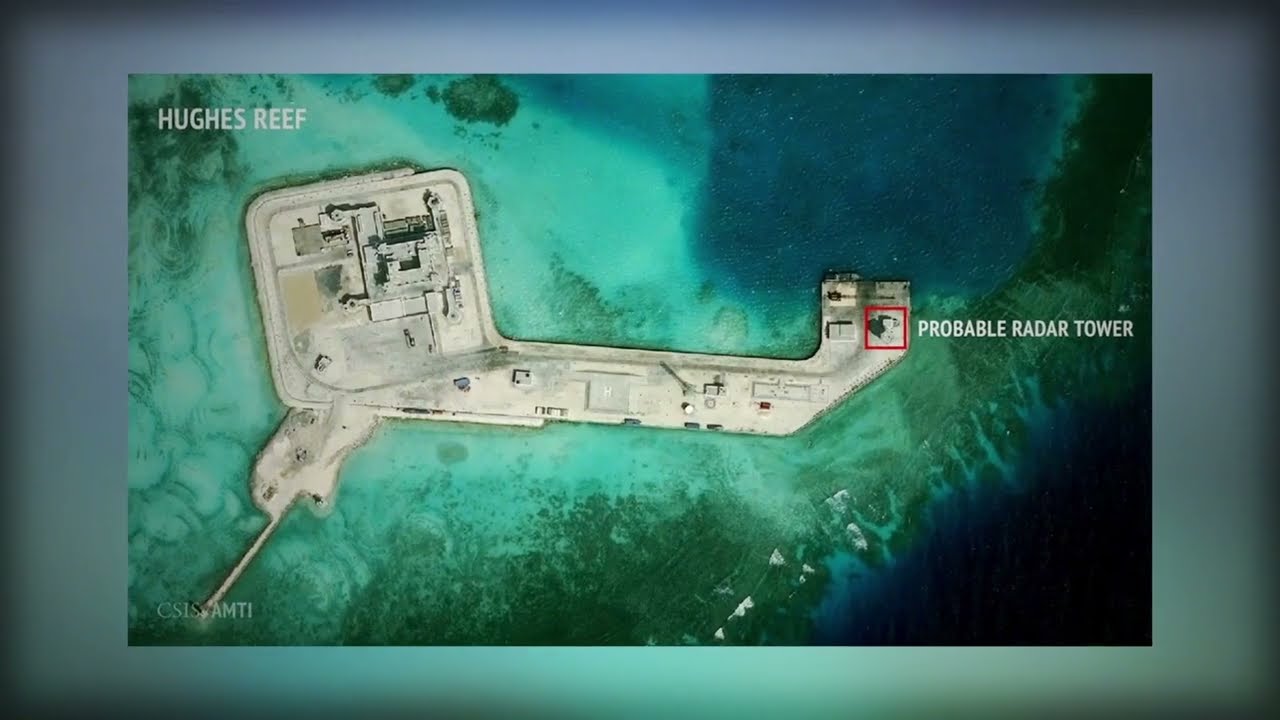
South China Sea Dispute Explained
Details how China turned 7 reefs into militarized bases with radar towers and airstrips
The Limits of China's Military Reach || Peter Zeihan
Analyzes naval reach limitations and the severe economic vulnerability of China's energy supply lines
FAQ
What is the 2016 Hague arbitration ruling on the South China Sea?
The Permanent Court of Arbitration ruled that China's historic nine-dash line has no legal basis under UNCLOS. The tribunal found that low-tide reefs cannot generate 200-nautical-mile exclusive economic zones. Beijing rejected the verdict and continues enforcing jurisdiction inside the line.
Why are tiny features like Second Thomas Shoal and Scarborough Shoal contested?
Outposts on reefs anchor physical control over surrounding fishing grounds and oil basins. The Philippines maintains a marine garrison on the grounded BRP Sierra Madre at Second Thomas Shoal. China maintains coast guard cordons around both shoals to choke access and project force.
How much global trade and oil moves through the South China Sea?
Roughly 30% of global maritime commerce passes through these waters every year. That includes an estimated 15 million barrels of crude oil per day moving toward East Asian ports. Blockages would force shipping around Australia or through deeper Indonesian straits.
Which nations hold physical outposts in the Spratly Islands?
Vietnam occupies 21 features, China controls 7 fortified bases, the Philippines holds 9 outposts, Malaysia controls 5 reefs, and Taiwan occupies Itu Aba. Each state uses these garrisons to defend claims under domestic maritime law.
More places
Black Sea · Persian Gulf · Strait of Malacca · Bosphorus · Caucasus · all places