UPDATED August 2026
Suwalki Gap Map
DRAG TO EXPLORE // © CARTO © OPENSTREETMAP
The Suwalki Gap is a 65 km land corridor along the Poland-Lithuania border. It sits pinched between Russia's heavily militarized Kaliningrad exclave to the northwest and Belarus to the southeast. It serves as NATO's only overland connection linking mainland Europe to Lithuania, Latvia, and Estonia.
Why Suwalki Gap matters right now
Poland and the Baltic states are constructing fortified defensive networks along this corridor, including Poland's 2.5 billion dollar East Shield project and Lithuania's training hub near Kapciamiestis. Germany is deploying its 45th Panzer Brigade to Lithuania with 5000 troops and Leopard 2 tanks. NATO forces stationed at Bemowo Piskie in Poland run regular combat drills to ensure the corridor cannot be cut in a surprise offensive.
Tensions spiked after Lithuania restricted sanctioned rail cargo transiting between mainland Russia and Kaliningrad. Moscow regards the exclave as an essential warm-water naval base for its Baltic Fleet at Baltiysk, armed with nuclear-capable Iskander missiles. Meanwhile, Russia's de facto military integration with Belarus allows Moscow to position strike forces on both sides of the corridor.
Nordic access through Finland and Sweden provides NATO with maritime alternatives across the Baltic Sea. However, heavy armor and bulk logistics still rely on just 2 highways and 1 rail line through the gap. If Russian forces seize this bottleneck, land reinforcements would be severed instantly, forcing NATO into a complex counter-offensive.
Watch the strategic breakdown while tracking the border choke points on the live map

Explainer: What is the Suwalki gap? Where is the Suwalki gap? Could it lead to WWIII?
Explains how the Kaliningrad rail transit dispute and post-WWII borders created a permanent flashpoint between Lithuania and Russia

Where Russia could start a war with Nato | Suwalki Gap Explained
Breaks down how Iskander missiles in Baltiysk and permanent Russian forces in Belarus flank NATO's narrowest transit route
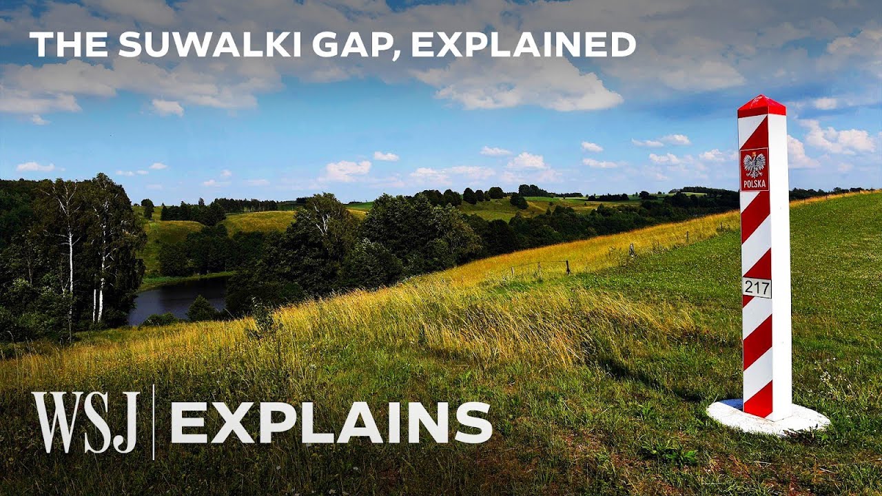
This 60-Mile Strip of Land Is NATO’s ‘Weak Spot’ Against Russia | WSJ
Details the tactical bottlenecks of defending rolling farmland served by only 2 major roads and 1 railway line
FAQ
Why is the Suwalki Gap called the most dangerous place on Earth?
It is the only land route connecting the Baltic states to NATO allies in Europe. If Russian and Belarusian forces link up across these 65 km, Estonia, Latvia, and Lithuania become cut off by land, triggering an immediate Article 5 conflict.
What transport infrastructure runs through the Suwalki Gap?
Only 2 primary highways, including the Via Baltica route, and 1 railway line cross this corridor. The surrounding terrain consists of rolling hills, lakes, and dense forests that restrict heavy armor maneuver to narrow roads.
How does Kaliningrad connect to mainland Russia?
Kaliningrad relies on transit trains running through Lithuania and Belarus, as well as cargo ships sailing the Baltic Sea to St. Petersburg. Baltic winter ice and strict European Union trade sanctions make maritime and rail supply lines vulnerable to disruption.
Did Finland and Sweden joining NATO change the strategic balance here?
Yes. Nordic membership turned the Baltic Sea into an allied maritime corridor, easing sea and air reinforcement to Tallinn and Riga. However, moving heavy armored divisions still requires the ground corridor across the Suwalki Gap.
More places
Black Sea · South China Sea · Persian Gulf · Strait of Malacca · Bosphorus · all places