UPDATED August 2026
Strait of Hormuz Map
DRAG TO EXPLORE // © CARTO © OPENSTREETMAP
The Strait of Hormuz sits between the Persian Gulf and the Gulf of Oman, separating the southern coast of Iran from the Musandam Peninsula of Oman and the United Arab Emirates. At its narrowest pinch, the navigable channel shrinks to 39 km (21 miles) across, forcing supertankers into 2-mile-wide inbound and outbound shipping corridors through Iranian and Omani territorial waters.
Why Strait of Hormuz matters right now
The real mechanism that halted traffic was financial: London maritime insurers immediately cancelled war risk coverage once hulls took fire, stranding laden crude carriers in the Persian Gulf regardless of US 5th Fleet naval escorts.
The waterway normally handles 21 million barrels of crude and petroleum liquids daily, representing 21% of global petroleum consumption and 1/4 of worldwide liquefied natural gas exports. It also funnels 1/3 of the global seaborne fertilizer trade, meaning sustained disruptions directly trigger food price inflation in import-dependent economies like Bangladesh, Pakistan, and across East Asia.
Diplomatic negotiations in August 2026 centered on an Omani-led proposal to co-manage shipping routes and establish regulated passage fees. Alternative bypass pipelines across Saudi Arabia and the UAE can only handle 3.5 to 5.5 million barrels per day, leaving a deficit of 14 to 16 million barrels daily and 0% bypass capacity for Qatari LNG.
Follow the shipping lanes and chokepoint geography on the interactive map below while watching the breakdowns
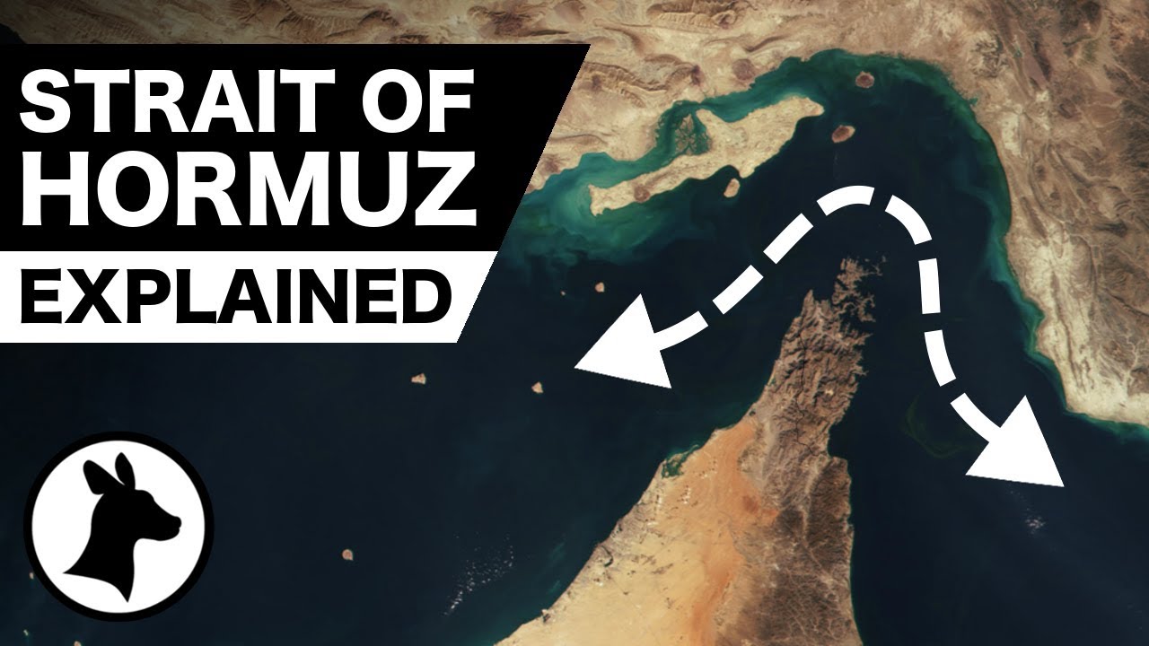
The Strait of Hormuz Explained
Maps the inbound and outbound tanker routes through Iranian and Omani waters and breaks down Asian export destinations
Strait of Hormuz Explained Like You're 5
Shows why London insurance underwriters rather than military forces ultimately decide when shipping through the strait halts

Why Bypassing Hormuz is a Pipe Dream || Peter Zeihan
Analyzes the mathematical limits of Saudi and Emirati bypass pipelines and why LNG cannot avoid the waterway
FAQ
Why can tankers not bypass the Strait of Hormuz through pipelines
Only Saudi Arabia and the UAE operate operational bypass pipes to ports outside the Persian Gulf. Together they offer at most 5.5 million barrels per day of spare capacity against 21 million barrels of normal daily strait traffic. Kuwait, Iraq, and Qatar have 0 bypass infrastructure, leaving all Qatari LNG completely locked in.
How does Iran close the strait without physically blocking the water
Iran deploys fast attack craft, coastal missile batteries, and cheap plastic sea mines into the 2-mile inbound lane. Once a single commercial vessel takes damage, London underwriters pull hull and cargo insurance. Commercial captains refuse to sail without coverage, effectively freezing traffic without requiring a physical barrier.
Which countries suffer the most when Hormuz shipping stops
Roughly 76% of crude oil through the strait heads east to China, India, Japan, South Korea, and Singapore. Countries relying on Gulf urea and ammonia face steep fertilizer shortages within weeks, triggering agricultural supply shocks across South Asia and Latin America.
Who legally controls the shipping lanes in the Strait of Hormuz
Under the UN Convention on the Law of the Sea, the strait consists entirely of the 12-nautical-mile territorial waters of Iran and Oman. International vessels exercise transit passage rights, but vessels must transit Iranian waters near Greater Tunb, Lesser Tunb, and Abu Musa islands before crossing into Omani channels.
More places
Black Sea · South China Sea · Persian Gulf · Strait of Malacca · Bosphorus · all places