UPDATED August 2026
Panama Canal Map
DRAG TO EXPLORE // © CARTO © OPENSTREETMAP
The Panama Canal spans 82 kilometers across the Isthmus of Panama in Central America, cutting between Colón on the Caribbean Sea and Panama City on the Pacific Ocean. Gatun Lake sits at the center, elevated 26 meters above sea level, flanked by the Gatun locks to the north and the Miraflores and Cocolí locks to the south. Dense rainforest corridors, the Continental Divide at Culebra Cut, and the Trans-Isthmian Highway frame the waterway.
Why Panama Canal matters right now
The Panamanian government took operational control of both terminals in February 2026, transferring interim management to Danish shipping giant Maersk's APM Terminals and Switzerland-based MSC. This abrupt shift removed Chinese commercial management from both canal entrances following intense diplomatic pressure from Washington.
The takeover marks a major test of American soft power and supply chain security across the Western Hemisphere. Beijing filed international arbitration claims exceeding 2 billion dollars and summoned shipping executives, but local legal rulings held. Meanwhile, attacks on Red Sea shipping have forced more global maritime traffic to evaluate alternate routes, keeping the canal under intense scrutiny as energy markets and container lines navigate tight transit quotas and volatile trade policy.
Track the lock systems, port terminals, and transit paths across the isthmus on the live map

Panama Boots China from the Canal || Peter Zeihan
Breaks down Panama removing Chinese port operator CK Hutchison and handing terminal operations to Denmark's Maersk

Global Energy Stressors: Can Anybody Help || Peter Zeihan
Examines global maritime chokepoints and Western Hemisphere oil flows as Red Sea disruptions strain shipping capacity
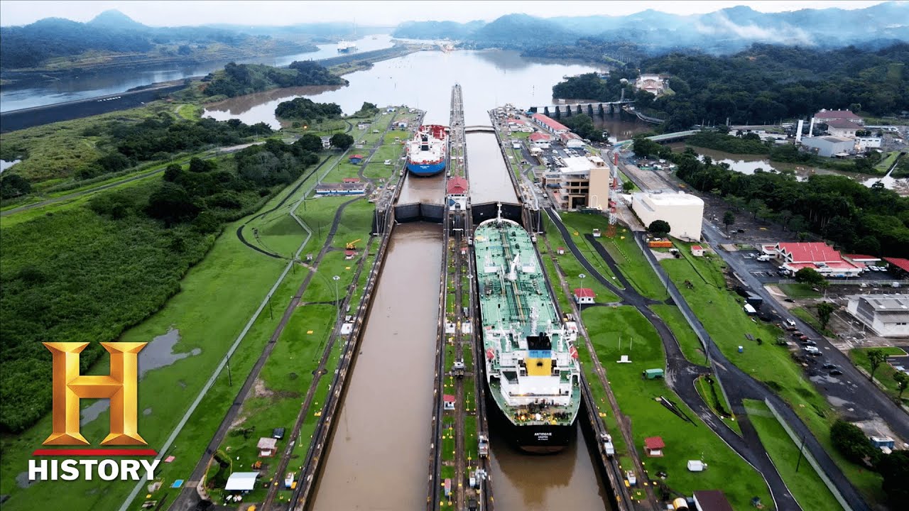
How the Panama Canal Was Built | The Engineering that Built the World (Season 1) | History
Chronicles the lock engineering, excavation of Culebra Cut, and sanitary campaigns that created the trans-isthmus route
FAQ
Why did Panama expel Chinese port operators from Balboa and Cristobal
An official government audit cited irregularities in the contract extension, while the United States raised national security objections to Chinese firms managing terminals at both ends of the waterway. The state seized physical control of the Balboa and Cristobal ports in February 2026.
Who manages the ports at each end of the Panama Canal today
Panama's National Maritime Authority took control of the terminals and appointed Denmark's APM Terminals (Maersk) and Switzerland's MSC to handle interim operations. These Western carriers took over container facilities at Balboa on the Pacific and Cristobal on the Atlantic while Panama organizes a fresh competitive tender. Panama Ports Company has launched international arbitration to contest the eviction.
How do Red Sea disruptions affect Panama Canal traffic
Houthi missile attacks in the Bab el-Mandeb forced major container and tanker fleets to bypass the Suez Canal, increasing global shipping mileage. While shippers sought alternatives, Panama Canal transit slots remained limited due to freshwater reservoir management in Gatun Lake. This combination tightened global vessel supply and increased shipping costs across Pacific and Atlantic trade lanes.
How does the Panama Canal lock system lift and lower ships
The canal relies entirely on gravity-fed freshwater from Gatun Lake to fill and empty its lock chambers. Ships are raised 26 meters above sea level in 3 steps to cross the Continental Divide and then lowered 26 meters on the opposite side. The Neopanamax locks added in 2016 use water-saving basins that recycle 60 percent of the water used during each transit.
More places
Black Sea · South China Sea · Persian Gulf · Strait of Malacca · Bosphorus · all places