UPDATED August 2026
Donbas Map
DRAG TO EXPLORE // © CARTO © OPENSTREETMAP
Donbas sits in eastern Ukraine directly on the border with Russia [XBH05Ht1tdM 00:23]. It consists of 2 major administrative oblasts, Donetsk and Luhansk, centered around the Donets River basin [XBH05Ht1tdM 00:26, XBH05Ht1tdM 00:33]. The region is bordered by Kharkiv Oblast to the northwest, Dnipropetrovsk and Zaporizhzhia oblasts to the west, the Sea of Azov to the south, and Russia's Rostov and Voronezh oblasts to the east.
Why Donbas matters right now
Russian forces have pushed heavily along the central Donetsk front, attempting to breach Ukraine's defensive belt around Pokrovsk, Kostiantynivka, Chasiv Yar, and the Kramatorsk-Sloviansk urban aggregate. Ukrainian brigades rely on extensive drone operations and artillery interdiction to blunt mechanized assaults across open agricultural terrain.
Controlling Donbas provides Moscow with a continuous land bridge from mainland Russia to Crimea and secures access to the Sea of Azov coast [XBH05Ht1tdM 03:14, 8EvODsfIyPc 02:11]. The region historically served as an economic powerhouse, producing roughly 15 percent of Soviet coal and anchoring heavy metallurgy [XBH05Ht1tdM 00:28, XBH05Ht1tdM 01:20].
The current battle line is an extension of fighting that started in 2014 when Russian-backed separatists seized municipal buildings in Donetsk and Luhansk [8EvODsfIyPc 00:10, 8EvODsfIyPc 00:44]. Today, the grinding attritional struggle for Donbas shapes the broader geopolitical standoff between NATO allies and Russia [XBH05Ht1tdM 04:05, XBH05Ht1tdM 04:14].
Watch the regional breakdown below while tracking active battle lines and topography on the interactive map
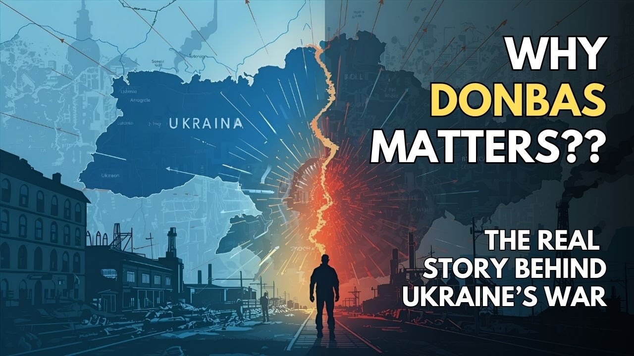
Donbas Explained: The History and Why This Region Changed Europe #donbas #donbasconflict
Details how late 1800s mining expansion turned Donbas into a multi-ethnic industrial hub producing 15 percent of Soviet coal
War in Donbas: Eastern Ukraine Conflict Explained
Traces the 2014 separatist takeover, the downing of flight MH17, and the failure of the 2014 and 2015 Minsk agreements
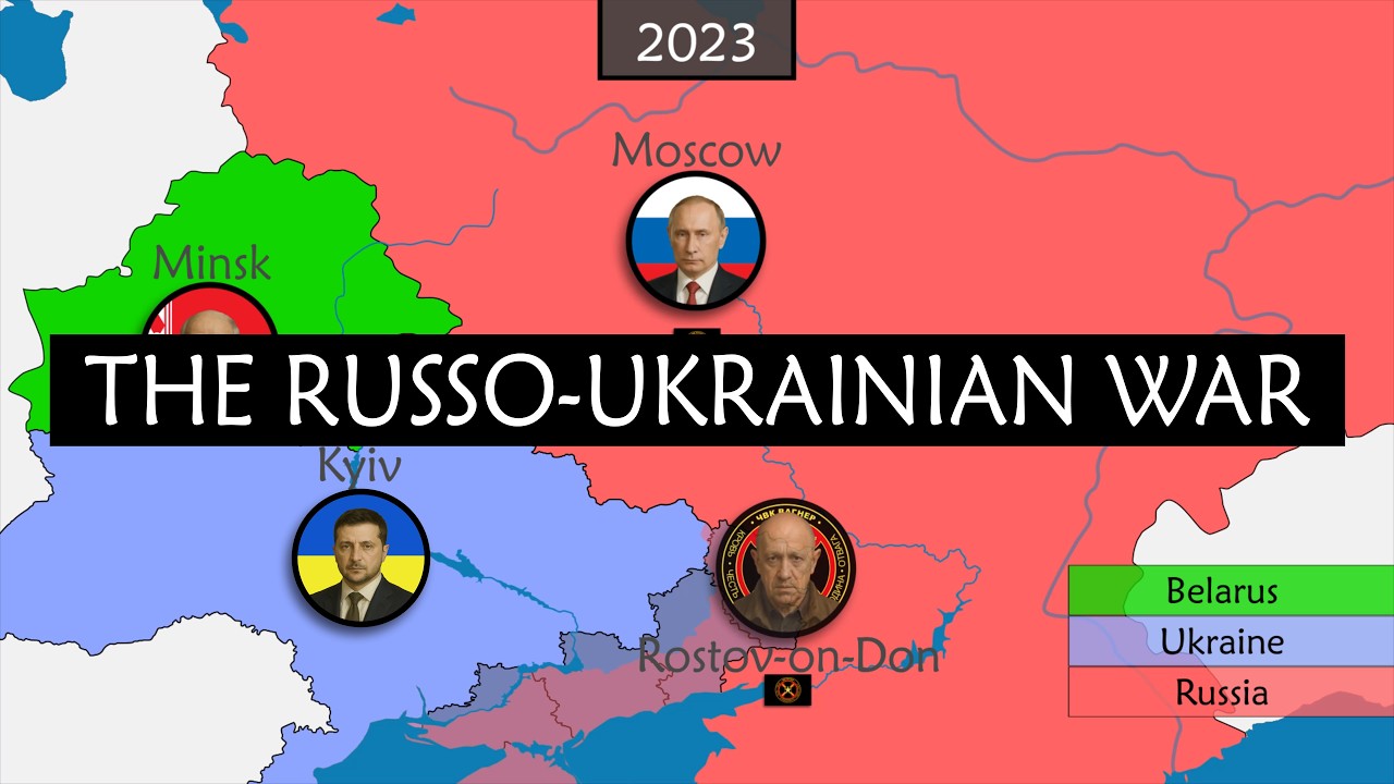
The Russo-Ukrainian War Explained on a Map
Illustrates territorial changes and front-line movement across the eastern and southern axes on an operational map
FAQ
What administrative areas make up Donbas
Donbas consists of Donetsk Oblast and Luhansk Oblast [XBH05Ht1tdM 00:33]. Together they span roughly 53,000 square kilometers along Ukraine's eastern border with Russia.
Why is the Donbas region strategically important to Russia
Donbas anchors the land route connecting the Russian border to occupied Crimea and the Black Sea [XBH05Ht1tdM 03:14]. Controlling it also allows Russia to seize critical industrial assets and exert political leverage over the rest of Ukraine [XBH05Ht1tdM 02:50, 8EvODsfIyPc 02:12].
What was the fortress belt in Donetsk Oblast
The fortress belt is a chain of heavily fortified industrial cities built up by Ukraine after 2014. It includes Pokrovsk, Kostiantynivka, Druzhkivka, Kramatorsk, and Sloviansk, linked by dense rail and road networks.
How did the conflict in Donbas begin in 2014
Following Ukraine's Euromaidan revolution and the ouster of Viktor Yanukovych, armed Russian-backed groups seized administrative buildings across eastern cities [XBH05Ht1tdM 01:55, 8EvODsfIyPc 00:10, 8EvODsfIyPc 00:32]. They declared self-styled people's republics in Donetsk and Luhansk, sparking a war that killed over 14,000 people before 2022 [XBH05Ht1tdM 02:14, XBH05Ht1tdM 02:34, 8EvODsfIyPc 00:46].
More places
Black Sea · South China Sea · Persian Gulf · Strait of Malacca · Bosphorus · all places