UPDATED August 2026
Darien Gap Map
DRAG TO EXPLORE // © CARTO © OPENSTREETMAP
The Darien Gap is a roadless 106-kilometer stretch of rainforest and swampland straddling the border between eastern Panama and northwestern Colombia [KpXqL7zWedk, HX4J4p4R1QU]. It sits between the Gulf of Uraba on the Caribbean coast and the Pacific Ocean, directly connecting Central America to South America [HX4J4p4R1QU]. The gap separates the terminus of the northern Pan-American Highway at Yaviza, Panama, from its southern resumption near Turbo, Colombia [HX4J4p4R1QU].
Why Darien Gap matters right now
The Darien Gap remains the only missing link in the 48,000-kilometer Pan-American Highway network [KpXqL7zWedk]. After peak migration in 2023 when more than 520,000 people crossed on foot, Panamanian border forces under President Jose Raul Mulino installed razor wire along major jungle corridors and launched US-funded repatriation flights. Crossings dropped by over 90 percent, shifting regional security operations from migrant reception in villages like Bajo Chiquito to counter-narcotics sweeps against the Gulf Clan and joint US-Panama environmental cleanup operations.
The route remains intentionally unpaved due to a mix of environmental protections for UNESCO-listed national parks, resistance from indigenous Kuna and Embera-Wounaan communities, and strategic resistance from Panama and the United States [KpXqL7zWedk, HX4J4p4R1QU]. Keeping the dense jungle intact serves as a physical buffer that protects Panama Canal stability, prevents illicit drug shipments from moving overland by truck, and controls the flow of unregulated transit [HX4J4p4R1QU].
Watch the video analysis and follow the key border choke points on the live map below.
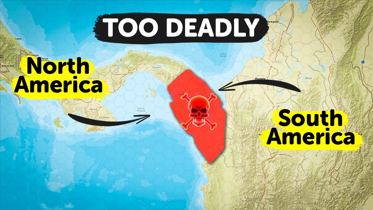
Darien Gap: The Terrifying Truth About the World's Most Dangerous Road!
Details the 1960 Trans-Darien expedition that required 125 makeshift bridges over 4 months to cross the 87-kilometer unbuilt gap
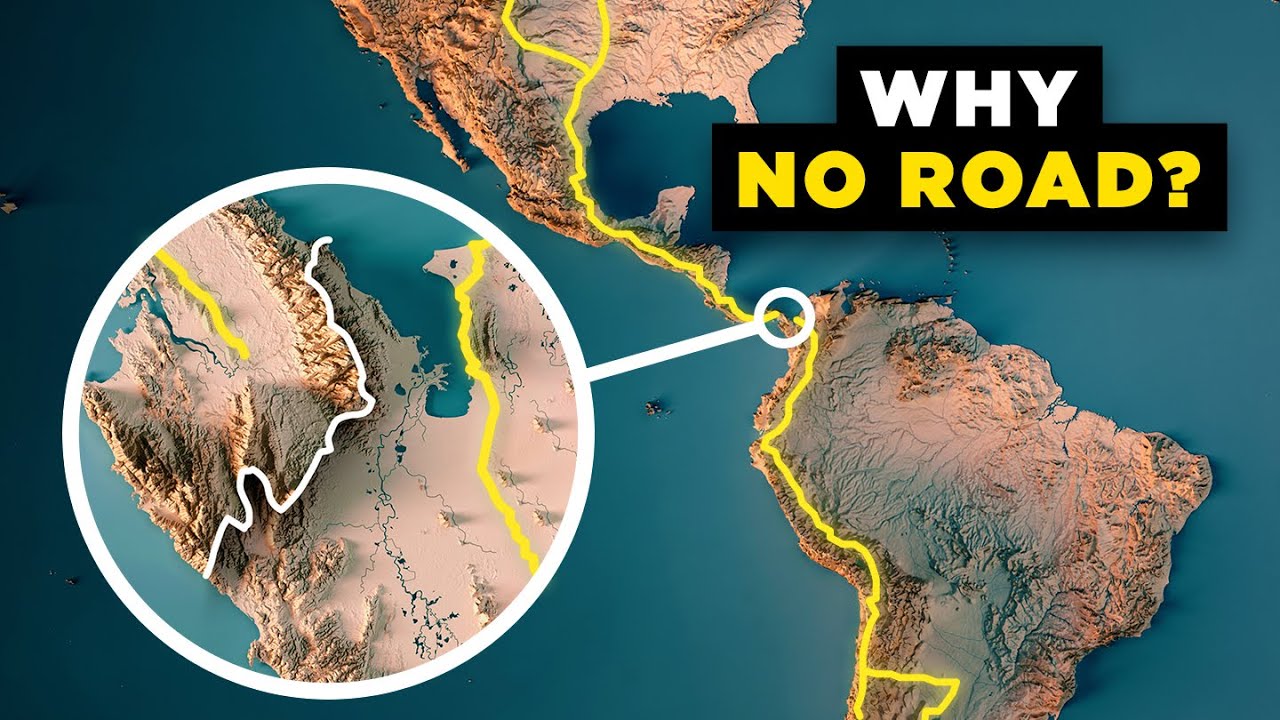
Why the Americas Still Aren't Connected by a Road
Explains the geopolitical history from Panama's 1903 US-backed independence to modern cartel containment that keeps the highway severed
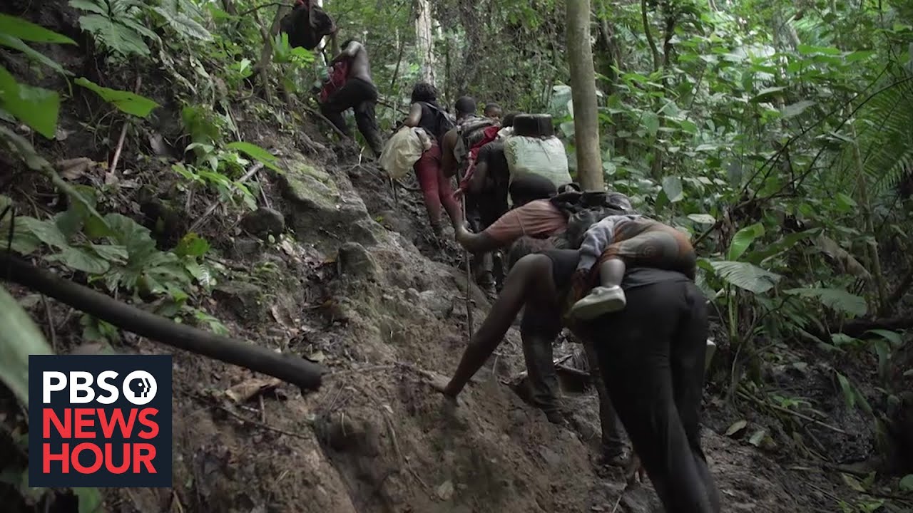
What migrants face as they journey through the deadly Darien Gap
Documents the boots-on-the-ground reality of migrants navigating flash floods, organized crime extortion, and dense jungle terrain
FAQ
Why is there no road through the Darien Gap?
Dense swamps, steep terrain around Cerro Tacarcuna, and over 5,200 millimeters of annual rainfall make road construction technically difficult and expensive [HX4J4p4R1QU]. In addition, Panama and the United States maintain environmental protections in Darien National Park and treat the roadless jungle as a security buffer against drug trafficking and disease spread [KpXqL7zWedk, HX4J4p4R1QU].
How do vehicles bypass the Darien Gap?
Vehicles cannot drive through the gap [KpXqL7zWedk, HX4J4p4R1QU]. Drivers must ship their cars by container ship or roll-on/roll-off ferry between Panama City or Colon in Panama and Cartagena or Buenaventura in Colombia [KpXqL7zWedk].
How long does it take to walk through the Darien Gap?
A crossing on foot typically takes between 7 and 15 days depending on the route, weather, and river levels. The journey requires navigating unmarked jungle trails, swollen river crossings without bridges, and mountain climbs while facing extortion from armed groups [KpXqL7zWedk, HX4J4p4R1QU].
Who lives inside the Darien Gap?
The region is home to indigenous nations including the Guna (Kuna) and Embera-Wounaan, who govern semi-autonomous comarcas along river basins [KpXqL7zWedk]. The isolated geography is also used by criminal organizations, including Colombian paramilitary groups and cartel smugglers [KpXqL7zWedk, HX4J4p4R1QU].
More places
Black Sea · South China Sea · Persian Gulf · Strait of Malacca · Bosphorus · all places