UPDATED August 2026
Bab el Mandeb Map
DRAG TO EXPLORE // © CARTO © OPENSTREETMAP
The Bab el Mandeb strait sits between the southwestern tip of Yemen on the Arabian Peninsula and the coastlines of Djibouti and Eritrea in the Horn of Africa. It spans 18 miles across at its narrowest point, with Perim Island splitting the passage into 2 navigation channels. The strait forms the southern gate to the Red Sea, connecting Mediterranean trade via the Suez Canal directly to the Gulf of Aden and the Indian Ocean.
Why Bab el Mandeb matters right now
Houthi forces in Yemen have escalated drone, ballistic missile, and surface vessel attacks against commercial shipping across the strait in 2026, killing merchant mariners and attempting a selective blockade on regional energy traffic. These disruptions forced shipping lines to divert container ships and tankers around Africa's Cape of Good Hope, adding 10 to 14 days to transit schedules and multiplying marine insurance premiums.
The strait functions as half of a coordinated maritime leverage play alongside the Strait of Hormuz. Because Tehran backs Houthi operations from Yemeni coastal territory, pressure on Bab el Mandeb allows regional proxies to threaten global trade routes without triggering direct state-to-state naval warfare.
Major powers have expanded their military presence around the waterway to keep shipping lanes open. Foreign naval task forces patrol the narrow transit lanes while operating out of concentrated military bases in neighboring Djibouti.
Track vessel movements and flashpoint geography on the interactive map while watching the video briefings
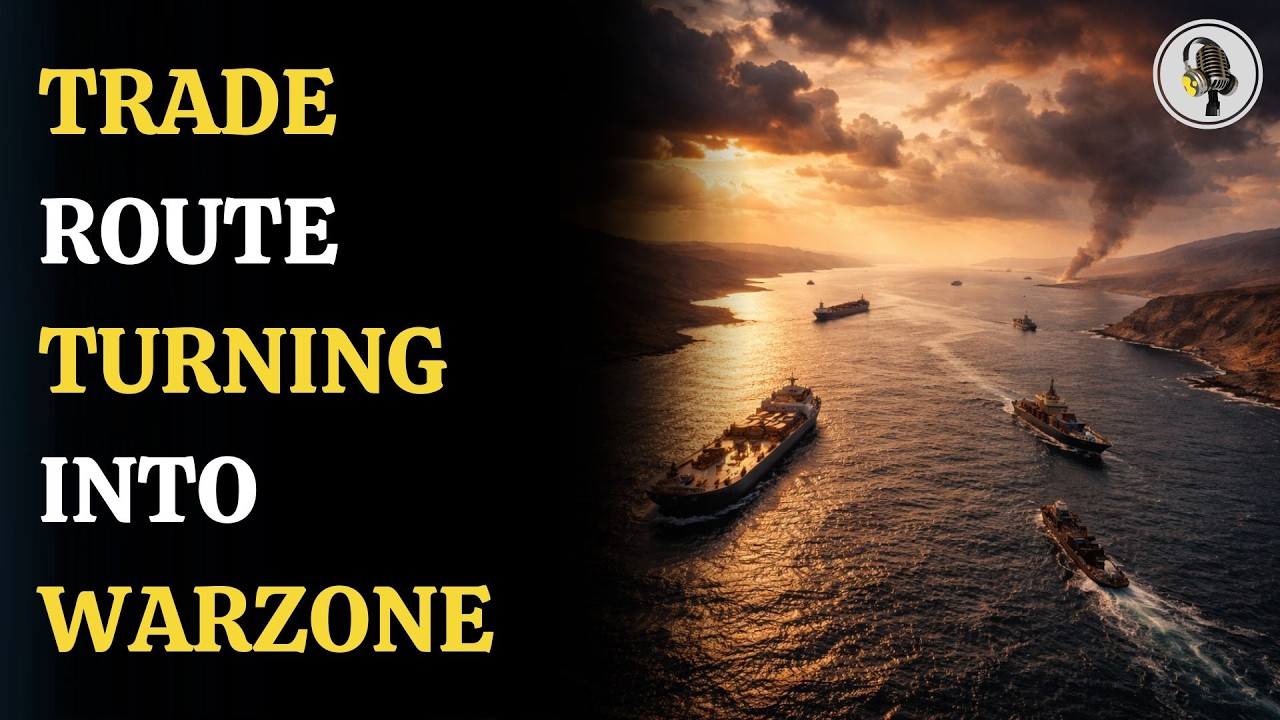
Bab el-Mandeb Strait Explained: The New Global Flashpoint | WION Podcast
Details how proxy control in Yemen gives Tehran indirect leverage over both Hormuz and the Bab el Mandeb
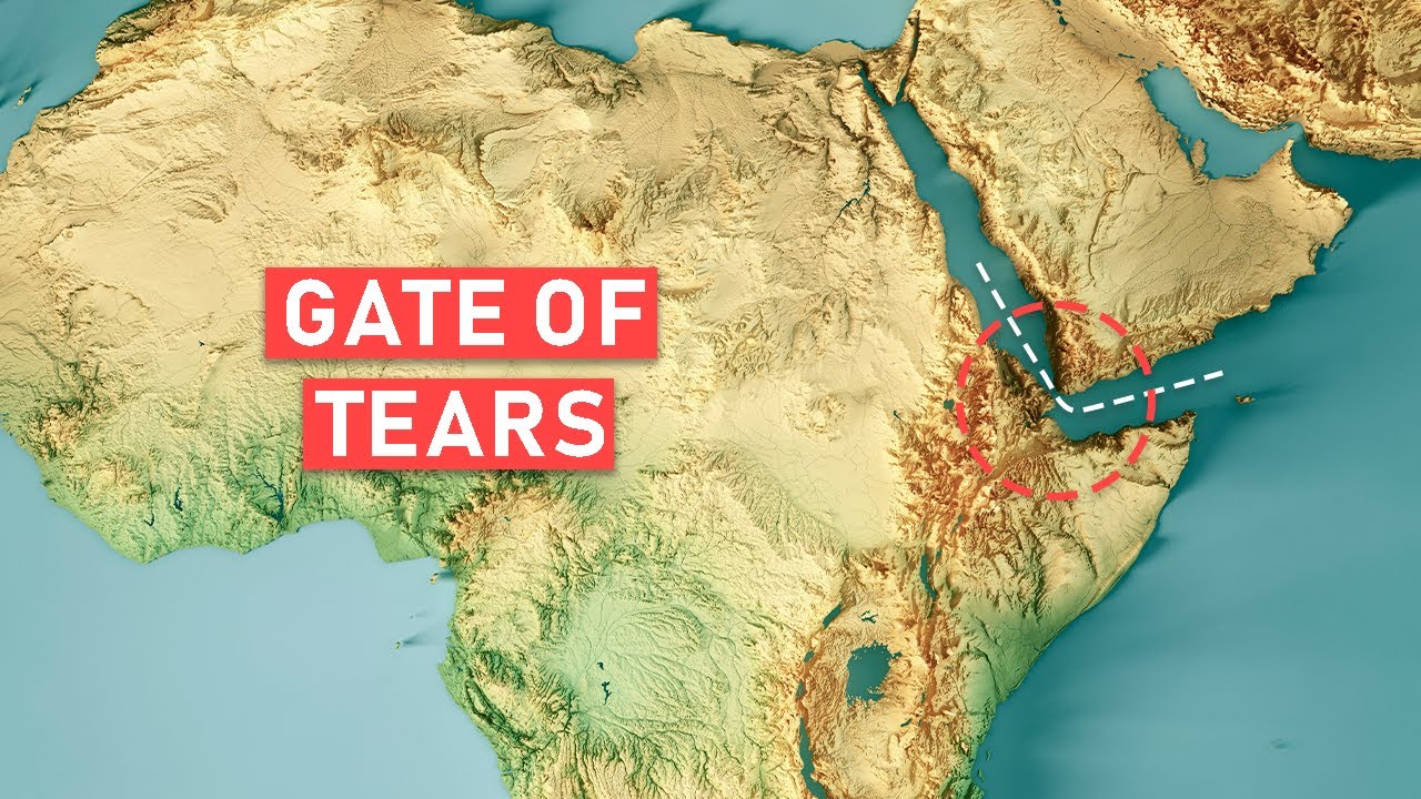
The Bab el-Mandeb Strait Explained
Breaks down the 18-mile chokepoint geography and the concentration of foreign military bases in Djibouti
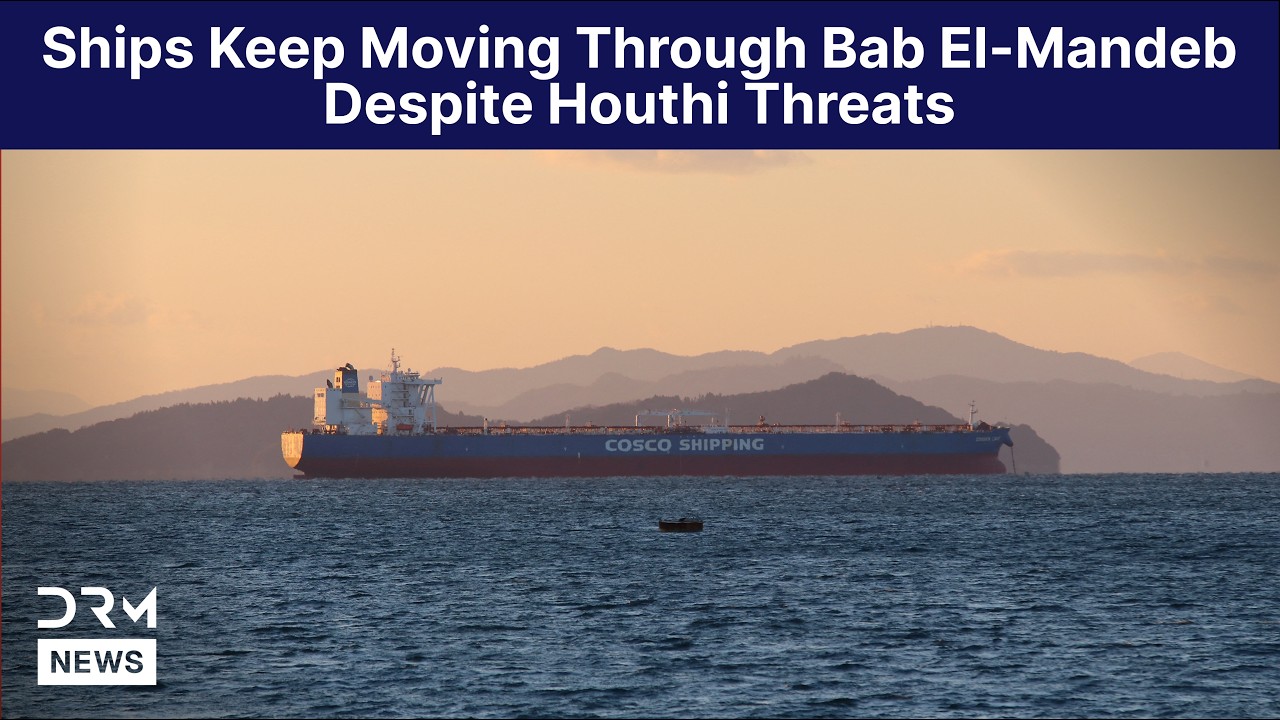
WATCH: Ships Keep Moving Through Bab el-Mandeb Despite Houthi Threats | AH15
Documents commercial tankers and cargo vessels continuing narrow-channel transits despite active missile threats
FAQ
How wide is the Bab el Mandeb strait and how is traffic divided?
The strait measures roughly 18 miles wide at its narrowest point. Perim Island divides the waterway into the 2-mile-wide eastern Bab Iskender channel and the 16-mile-wide western Dact-el-Mayun channel. Large commercial tankers and container vessels almost exclusively use the deeper western passage.
How much global trade passes through the Bab el Mandeb?
Roughly 10% to 12% of all seaborne global trade and about 9% of global seaborne petroleum transits the strait in normal conditions. Any closure cuts direct access between Europe and Asia through the Suez Canal, forcing vessels onto the longer route around the southern tip of Africa.
Which countries border the Bab el Mandeb strait?
Yemen sits on the eastern shore of the strait on the Arabian Peninsula. Djibouti and Eritrea flank the western and southwestern shores along the Horn of Africa.
Why do foreign militaries maintain bases in Djibouti near the strait?
Djibouti hosts military facilities for the United States, China, France, and Japan because its coastline provides immediate surveillance and rapid response capabilities over Bab el Mandeb shipping lanes. These bases allow navies to counter piracy, escort commercial convoys, and monitor regional conflicts.
More places
Black Sea · South China Sea · Persian Gulf · Strait of Malacca · Bosphorus · all places