 // MAPPED VIDEO
Every place Nord Stories mentions in "The Zangezur Corridor Explained | Azerbaijan’s Most Strategic Infrastructure Project", mapped
// THE CRUX The proposed Zangezur Corridor through southern Armenia offers a transformative yet geopolitically contentious land link between mainland Azerbaijan, its Nakhchivan exclave, Turkey, and broader Eurasian trade networks.
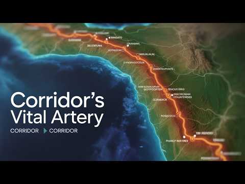
27 places, in order of mention
| 00:01 | South Caucasus | In the heart of the South Caucasus |
| 00:03 | Azerbaijan | where the borders of Azerbaijan |
| 00:04 | Armenia | Armenia Iran and Turkey almost touch |
| 00:05 | Iran | Iran and Turkey almost touch |
| 00:06 | Turkey | and Turkey almost touch a single strip |
| 00:11 | Eurasia | most talked about corridors in Eurasia |
| 00:14 | Zangezur Corridor | It's called the Zangezur corridor |
| 00:39 | Caspian Sea | large mainland on the Caspian Sea |
| 00:43 | Nakhchivan | smaller exclave called Nakhchivan separated by |
| 00:51 | Syunik Province | located in Armenia's southern Syunik province |
| 01:47 | Karabakh | ended the second Karabakh conflict |
| 02:16 | Mediterranean Sea | Caspian Sea to the Mediterranean |
| 02:21 | Baku | direct link from Baku to Nakhchivan |
| 02:25 | Kars | and onward to Kars in Eastern Turkey |
| 02:34 | Europe | from the Caspian to Europe |
| 03:33 | Central Asia | Turkic world of Central Asia |
| 03:35 | Russia | For Russia and Iran it presents |
| 03:54 | Persian Empire | between the Persian Empire and the Roman |
| 03:57 | Silk Road | between the Silk Road and the oil |
| 04:17 | Baku-Tbilisi-Kars Railway | Baku-Tbilisi-Kars railway to the new |
| 04:19 | Port of Alat | to the new port of Alat on |
| 05:16 | Black Sea | to the Mediterranean and Black seas |
| 05:22 | Xi'an | from China's western provinces |
| 05:24 | Kazakhstan | across Central Asia to the Caspian Sea |
| 05:37 | Suez Canal | shipping through the Suez Canal |
| 05:42 | Middle Corridor | initiatives like the Middle Corridor |
| 05:44 | Trans-Caspian International Transport Route | the Trans-Caspian International Transport Route |